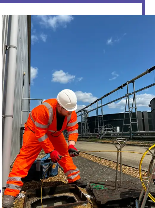
CCTV drainage survey: condition
A CCTV drainage survey sends a camera through the pipes to record their condition. It finds cracks, collapses, root intrusion, displaced joints, blockages and other defects, and records where they are. It answers the question: what state is the drainage in?
- Best for: defects, purchases, dilapidations, maintenance planning, pre-handover checks
- You get: graded defect report, footage, photographs, recommendations
Drain mapping: location and layout
Drain mapping records where the drainage is, how deep it is and how it connects. Chambers are lifted and levelled, runs are traced and the network is drawn to scale in CAD. It answers the question: where is the drainage and where does it go?
- Best for: design, extensions, missing records, misconnections, estate records
- You get: scaled drawing with cover and invert levels, pipe sizes and flow directions
PAS128 utility survey: every buried service
A PAS128 utility survey locates and maps buried services of all kinds – water, gas, electric, telecoms and drainage – using electromagnetic location and ground-penetrating radar, and records them to a defined quality level. It answers the question: what is buried here before we dig?
- Best for: excavation, design, avoiding service strikes
- You get: utility drawing with services and quality levels
When to combine them
On most construction and redevelopment sites you need all three: the utility survey to find every buried service, drain mapping to record the drainage layout and levels, and CCTV to confirm the condition of anything being kept. Ambler Group delivers all three, so they can be done in one visit with one coordinated drawing.
Need a drainage survey? Call 0345 548 5451 or email us with your site plan for a fixed quote.